
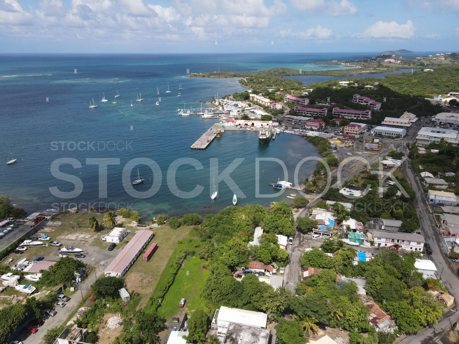
Gallows Bay Port
17.7450° N, 64.6880° W
Loading…
About this location
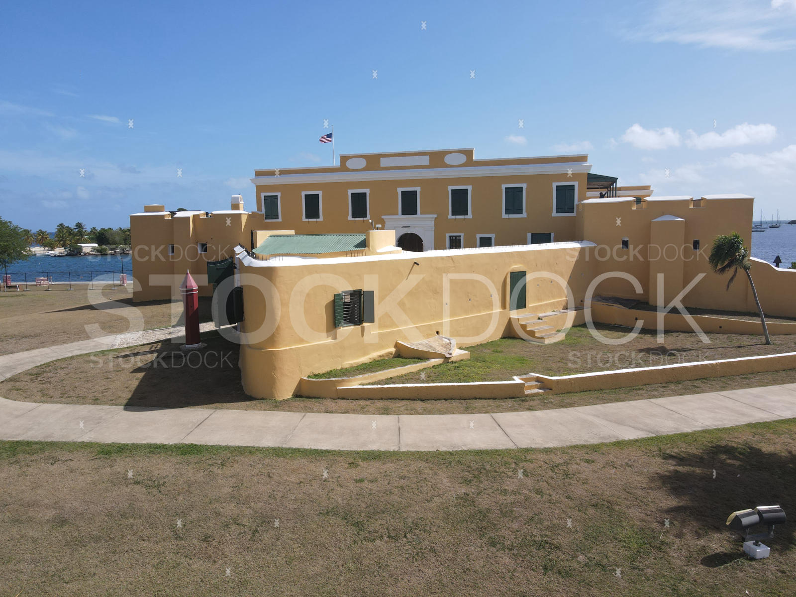
Gallows Bay takes its name from the colonial-era gallows that once stood on the waterfront, but today it's a lively, colorful harbor that captures the authentic rhythm of island life. Fishing boats return at dawn with the night's catch, charter sailboats depart for Buck Island, and the Christiansted boardwalk provides elevated vantage points over the anchorage. The fort's yellow walls frame the western edge of the bay, creating iconic layered compositions unique to this location.
Location highlights
- Working harbor with fishing boats, yachts, and ferries
- Fort Christiansvaern frames the western edge of the bay
- Christiansted boardwalk provides elevated vantage points
- Dawn fishing boat activity — authentic island lifestyle shots
- Calm anchorage — ideal for reflection photography at sunrise
Need a custom shoot?
Don't see what you're looking for? We offer commissioned aerial and ground-level photography across all three U.S. Virgin Islands.
Related locations
Common content uses
Marine & boating industry
Charter companies, marina operators, and sailing publications license harbor imagery for brochures, websites, and editorial features on Caribbean cruising.
Caribbean lifestyle & culture
Travel magazines, documentary filmmakers, and lifestyle brands use Gallows Bay's authentic working-harbor scenes to convey genuine island character.
Tourism & destination marketing
Christiansted tourism campaigns and USVI visitor bureau materials use the fort-and-harbor composition as a signature image for the island's historic waterfront.