
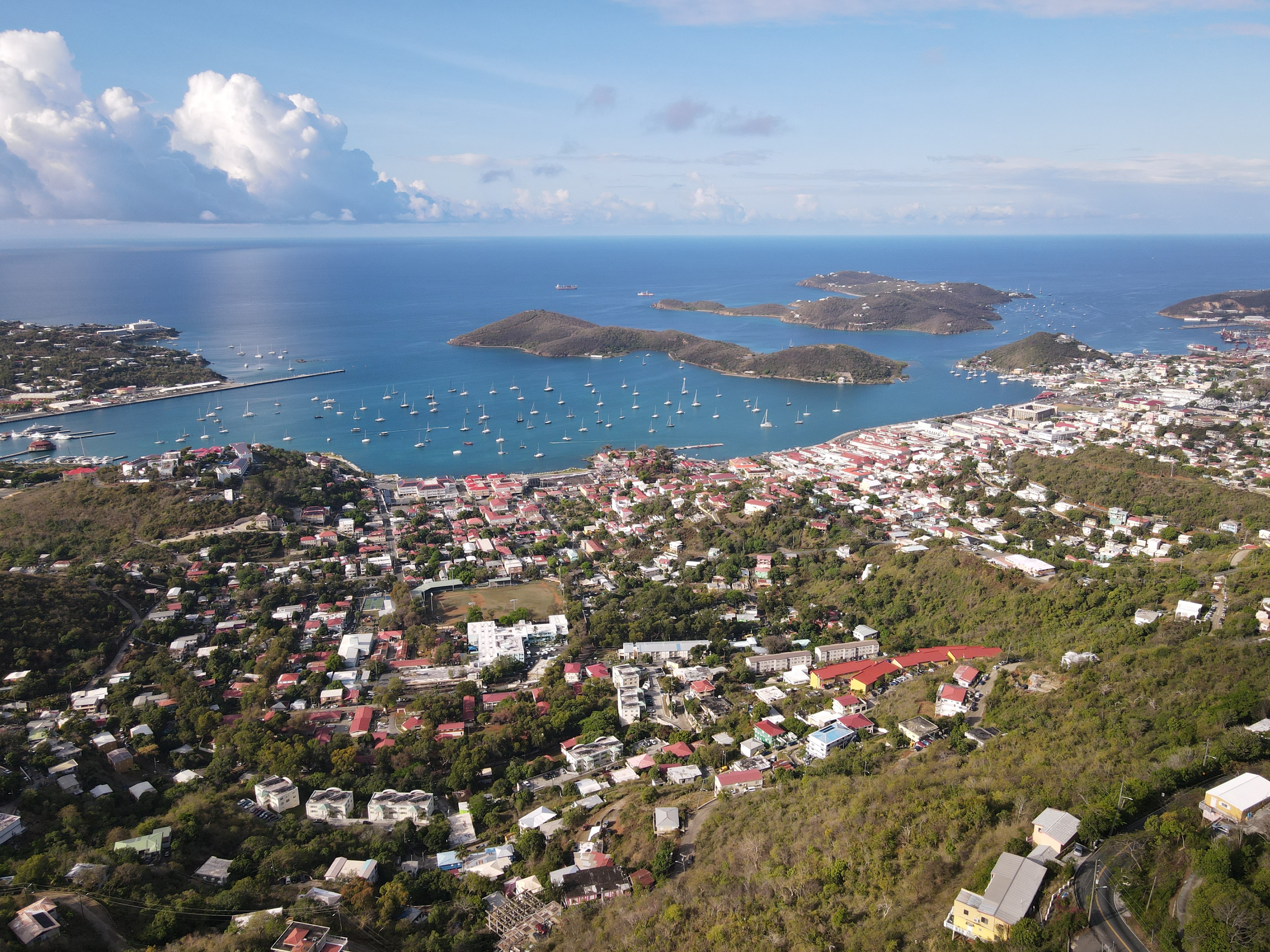
Charlotte Amalie, St. Thomas
18.3418571,-64.93106
Loading…
About this location
Charlotte Amalie has been a Caribbean crossroads for over three centuries. The city was founded by the Danish in 1672 and named after the Danish queen — its red-roofed warehouses, cobblestone alleyways, and the deep natural harbor made it one of the most important trading ports in the Atlantic world. Today the harbor still draws hundreds of cruise ships each year, and the historic district remains largely intact: Fort Christian anchors the waterfront, the 99 Steps climb through the hillside neighborhoods, and the old Danish commercial buildings now house shops and restaurants. Aerial photography of Charlotte Amalie captures the full sweep of the harbor, the cruise ship terminals, and the surrounding hills — a view that immediately communicates the scale and beauty of the USVI capital.
Location highlights
- Capital of the US Virgin Islands, founded 1672
- Fort Christian and intact Danish colonial waterfront
- One of the Caribbean's busiest cruise ports
- Aerial views of the harbor, hills, and historic district
- Three centuries of Caribbean maritime and commercial history
Need a custom shoot?
Don't see what you're looking for? We offer commissioned aerial and ground-level photography across all three U.S. Virgin Islands.
Related locations


Common content uses
Travel & destination
Showcasing the USVI capital for destination marketing, travel editorial, and Caribbean tourism campaigns targeting St. Thomas.
Historic & architectural
Danish colonial architecture, Fort Christian, and the historic waterfront for editorial, documentary, and heritage productions.
Commercial & lifestyle
Vibrant Caribbean harbor city imagery for brands targeting the USVI, cruise industry, and Caribbean travel market.